
Recording of the Online Seminar "WebGIS und OpenEO Geoprocessing Engine"
2023-06-27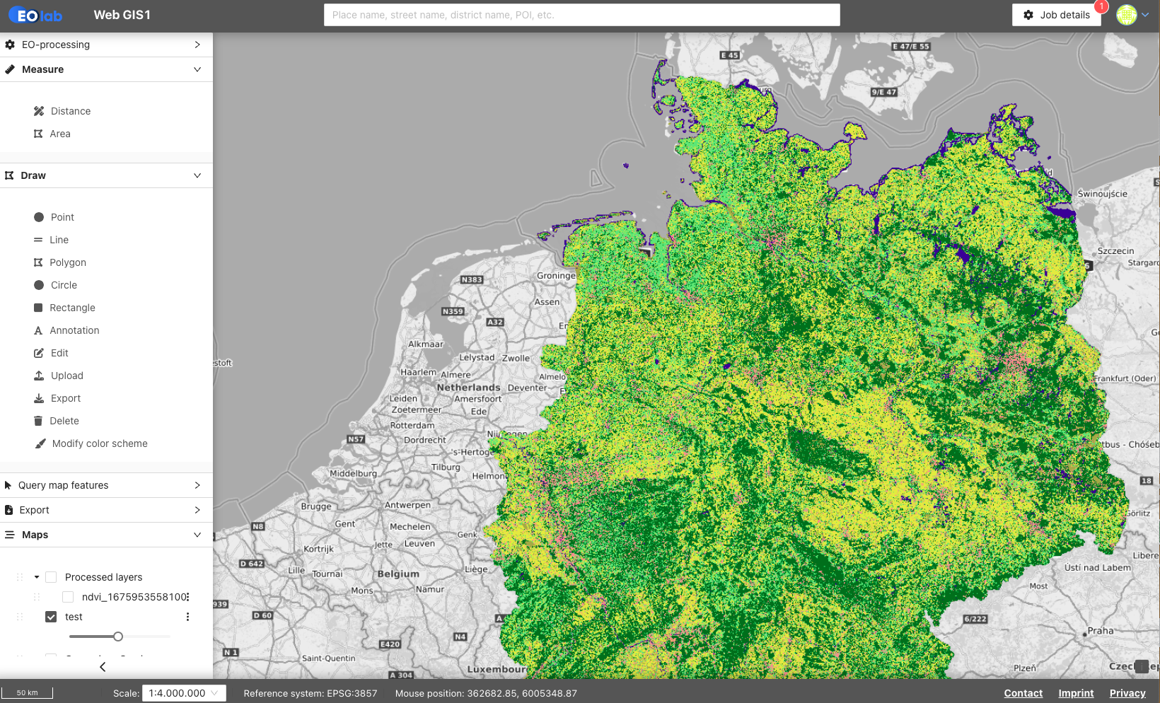
The online seminar is aimed at all users who process large amounts of geodata and want to display and share the results directly in a web-based GIS.
With distributed roles, terrestris presents the possibilities offered by WebGIS, ranging from displaying geodata in a client to sharing it with other users. The wide range of geoprocessing functions of the Geoprocessing Engine, which allow geospatial and satellite data to be analysed, is also presented.
EO-Lab Online Seminar: WebGIS and OpenEO Geoprocessing Engine

Technical Implementation and Operation:

Financed by: